+232 88 967 067
admin @ slgeosciences.com
This field report documents the geological studies conducted by the Sierra Leone Institution of Geoscientists (SLIG) along Konakry-dee Beach, focusing on mass wasting due to marine transgression and its resulting impact on heavy mineral concentration. The Bullom Sedimentary Group, a major geological unit in Sierra Leone, remains under-researched despite its potential mineral wealth. By assessing the exposed geological features and conducting geotechnical testing, this study aims to provide insights into future coastal erosion risks and mineral exploitation opportunities. The field trip spanned several kilometers along Konakry-dee, Mondor, and Mahera, examining lithological sequences and heavy mineral deposits. Samples were collected for laboratory analysis, and Dynamic Cone Penetrometer (DCP) tests were conducted to measure the geotechnical properties of the sediment layers.
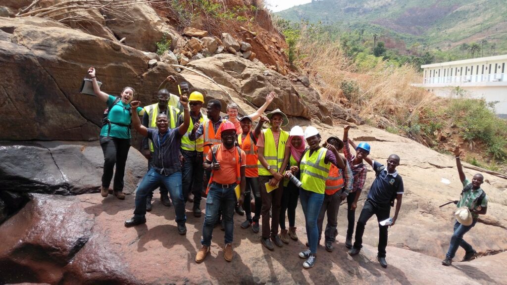
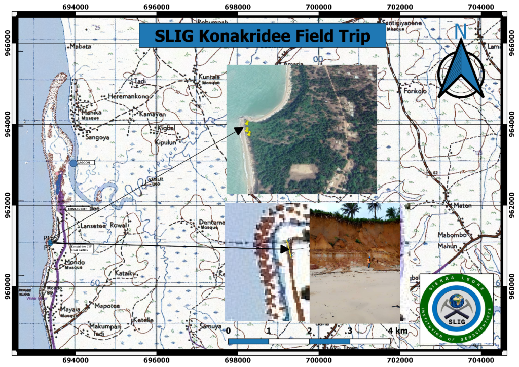
The Sierra Leone Institution of Geoscientists (SLIG) organizes annual field trips to study geohazards, mineral exploration, and geological formations within Sierra Leone. This year’s study focused on Konakry-dee beach, where alarming rates of mass wasting due to ocean currents threaten homes and infrastructure. Marine transgression continues to erode the coastline, exposing important geological formations for scientific analysis.
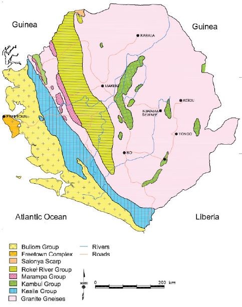
The Bullom group, which dominates the study area, is one of the least studied stratigraphic units in Sierra Leone, yet it holds significant mineral potential. The current study evaluates the geological impact of marine transgression, heavy mineral deposits, and the resulting geomorphological changes along the coastal cliffs. The study area extends across several kilometers, covering three main locations: Konakry-dee, Mondor, and Mahera.
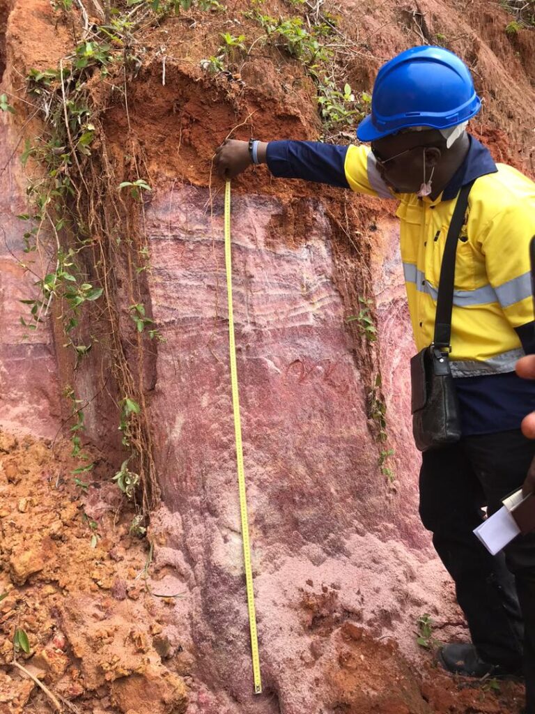
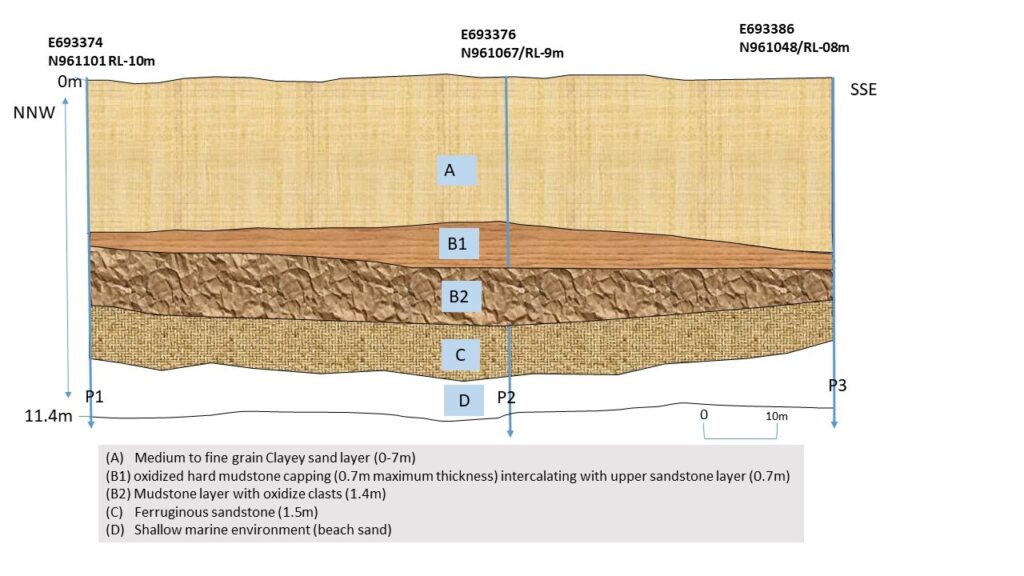
Konakry-dee beach is part of the Bullom Sedimentary Group, characterized by a lithological sequence of clayey silt, clayey sand, and mottled mudstone. Sandstones, often capped with oxidized layers, form part of the sedimentary rock units exposed by ocean erosion. These formations are overlain by recent marine sands in shallow marine environments. The Bullom group is in contact with the Kasila group, which shows up to 0.5% rutile content, indicating potential for further rutile deposits along the southern coast.
Key Geological Features
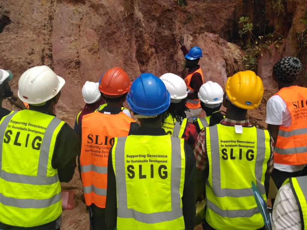
The study relied on basic geological observation tools such as GPS devices, compasses, hand lenses, and trowels to sample lithology and heavy minerals. Samples were taken from exposed cliff faces and marine settings where mass wasting had uncovered sandstone formations.
Additionally, geotechnical testing was conducted using Dynamic Cone Penetrometers (DCP). Three separate DCP tests were conducted at different locations along the beach to measure the strength and consistency of the soil layers. The tests adhered to the ASTM-D6951-3 (2003) standard, which employs a steel cone attached to a 16 mm diameter rod driven into the ground by an 8 kg hammer dropped from a height of 575 mm. The test measures the soil’s resistance to penetration, which can indicate potential structural risks due to soil weakness.
Sampling Process:
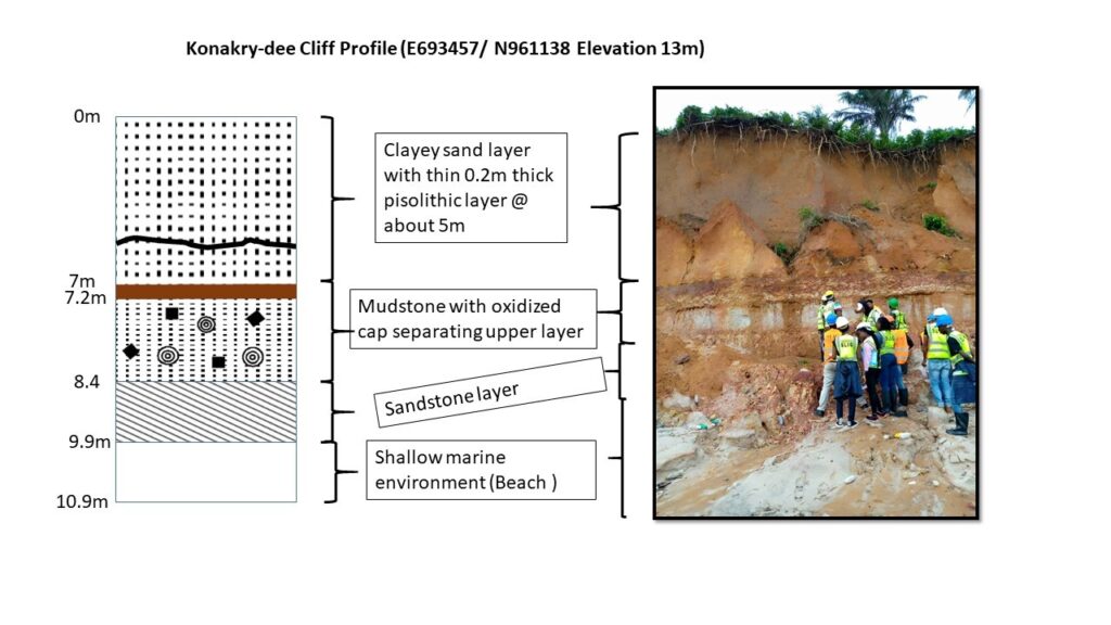
Observations revealed a thick clayey soil layer (approximately 7.5-8 meters thick) beneath a 0.2–0.3-meter humus layer, followed by oxidized mudstone cappings seen along the cliffs. The fine-to-medium grain sand observed within the matrix suggests previous marine deposition processes. Oxidized clasts within the mudstone suggest fluctuations in the water table, likely driven by seasonal changes and marine transgression.
Dynamic Cone Penetrometer Results
The ongoing mass wasting along Konakry-dee beach presents significant risks to coastal infrastructure, homes, and roads. The exposed geological formations, however, provide valuable insights into the region’s mineral potential, particularly in terms of rutile and other heavy minerals. Continued studies are necessary to better understand the effects of marine transgression and implement coastal protection strategies.